DrainWater Information System

DRMS - GIS

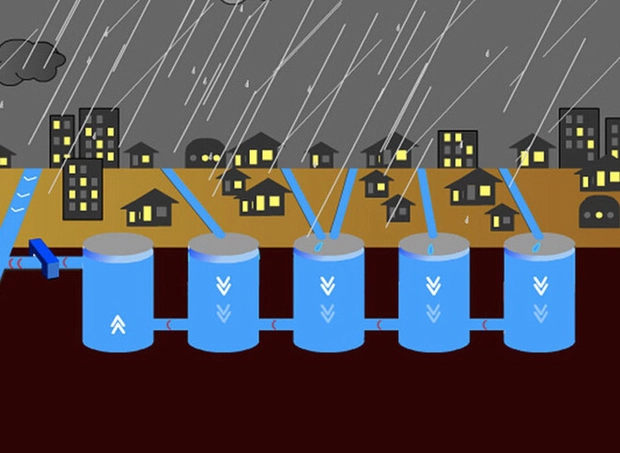
The drainage system comprises networks for household wastewater, industrial wastewater, and rainwater. In urban areas, the drainage network plays a crucial role in regulating residents’ wastewater and enhancing flood prevention and wastewater treatment management. This is one of the urgent requirements for urban environmental management companies today.

In reality, urban environmental management companies in Vietnam are managing their drainage networks using completion drawings on paper, Word, Excel, AutoCAD, etc., resulting in fragmented and inconsistent management practices. Implementing the DRMS-GIS system helps companies consolidate data for analysis, operation, enhance management capabilities, and support decision-making in flood prevention and wastewater treatment for the environment.

The Main Components

Database


  • Support data conversion into the centralized database (Data Center).
  • User permission management.
  • Definition of coordinate systems, longitude, latitude axis, VN2000 National Coordinate System.
  • Integration with urban greenery, urban lighting,water supply,environmental systems.

Asset network


  • Manage attribute and spatial information of drainage assets on maps.
  • Update asset information: directly on maps, GPS, mobile, import Excel, XML,…
  • Analyze asset lifespan, density, material, diameter.
  • Query assets on maps.

Network operation


  • Manage asset replacement, repair, and upgrade information.
  • Manage flushing and dredging plans for sewer lines.
  • Manage network incidents.

Flood management


  • Update flood information.
  • Analyze specialized flood maps.

Reporting statistical analysis


  • Statistics of newly installed network assets per year.
    Statistics of network operation.

Action Images